Geolocate

Cove Acres topographic map

Click on the map to display elevation.

About this map

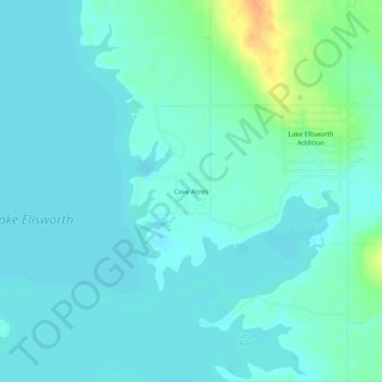
Name: Cove Acres topographic map, elevation, terrain.

Location: Cove Acres, Comanche County, Oklahoma, 73006, United States (34.81146 -98.35700 34.85146 -98.31700)

Average elevation: 1,250 ft

Minimum elevation: 1,224 ft

Maximum elevation: 1,348 ft

Comanche County trails, hiking, mountain biking, running and outdoor activities

Gear up for your next adventure:

👟Trail Running Shoes - Lightweight shoes for trail runners
🥇GPS Hiking Watch - Multi‑sport GPS watch with navigation and trail tracking
🪑Portable Camp Table - Compact table for campsite meals
Backpacking Tent - Lightweight and durable tent for multi‑day hikes
🏥Hiking First Aid Kits - Comprehensive medical kits for remote trail injuries

As an Amazon Associate, this site earns from qualifying purchases at no extra cost to you.