

Skardu topographic map
Click on the map to display elevation.
Skardu
Skardu (Urdu: سکردو, romanized: Skardū, pronounced [skərduː]; Balti: སྐར་དོ་་, سکر دو) is a city located in Gilgit−Baltistan, Pakistan. Skardu serves as the capital of Skardu District and the Baltistan Division. It is situated at an elevation of nearly 2,500 metres (8,202 feet) in the Skardu Valley, at the confluence of the Indus and Shigar Rivers. The city is an important gateway to the eight-thousanders of the nearby Karakoram mountain range. The Indus River running through the region separates the Karakoram from the Ladakh Range.
About this map
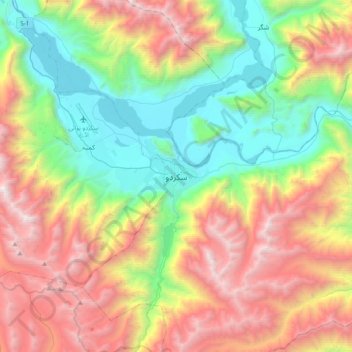
Name: Skardu topographic map, elevation, terrain.
Average elevation: 11,230 ft
Minimum elevation: 7,116 ft
Maximum elevation: 17,428 ft
Other topographic maps
Click on a map to view its topography, its elevation and its terrain.


