
Thank you for supporting this site ❤️
Make a donation
Make a donation
Gear up for your next adventure:
As an Amazon Associate, this site earns from qualifying purchases at no extra cost to you.
Menengai topographic map
Click on the map to display elevation.
Thank you for supporting this site ❤️
Make a donation
Make a donation
Gear up for your next adventure:
As an Amazon Associate, this site earns from qualifying purchases at no extra cost to you.
About this map
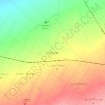
Name: Menengai topographic map, elevation, terrain.
Location: Menengai, Menengai West ward, Rongai, Nakuru, Kenya (-0.22153 35.94470 -0.18153 35.98470)
Average elevation: 6,450 ft
Minimum elevation: 6,224 ft
Maximum elevation: 6,640 ft
Thank you for supporting this site ❤️
Make a donation
Make a donation
Gear up for your next adventure:
As an Amazon Associate, this site earns from qualifying purchases at no extra cost to you.