Geolocate

El Raso topographic map

Click on the map to display elevation.

About this map

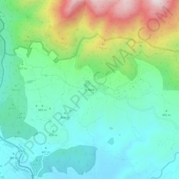
Name: El Raso topographic map, elevation, terrain.

Location: El Raso, Candeleda, Ávila, Castile and León, 05489, Spain (40.15051 -5.35958 40.19051 -5.31958)

Average elevation: 1,821 ft

Minimum elevation: 1,122 ft

Maximum elevation: 3,560 ft

Gear up for your next adventure:

🕶️GPS Smartphone Mount - Secure mount for phone navigation
🥾Men's Hiking Boots - Durable, waterproof footwear for rugged terrain and steep inclines
🎒Outdoor Daypacks - Lightweight backpacks designed for carrying maps and essential gear
Backpacking Tents - Weight-optimized shelters for multi-day topographic surveys
🪶Paracord Bracelet - Survival bracelet with built‑in tools

As an Amazon Associate, this site earns from qualifying purchases at no extra cost to you.