
Speed topographic map
Click on the map to display elevation.
About this map
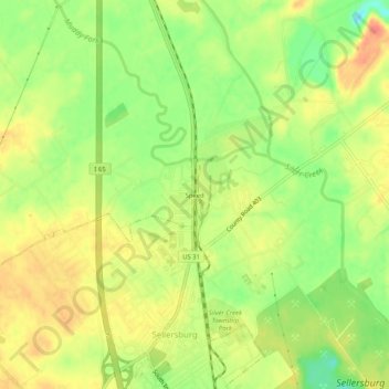
Name: Speed topographic map, elevation, terrain.
Location: Speed, Clark County, Indiana, 47172, United States (38.39229 -85.77246 38.43229 -85.73246)
Average elevation: 482 ft
Minimum elevation: 384 ft
Maximum elevation: 558 ft
Clark County trails, hiking, mountain biking, running and outdoor activities