
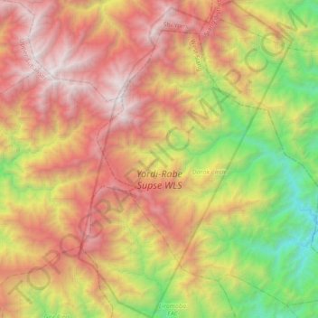
Yordi-Rabe Supse WLS topographic map
Interactive map
Click on the map to display elevation.
About this map
Name: Yordi-Rabe Supse WLS topographic map, elevation, terrain.
Average elevation: 6,768 ft
Minimum elevation: 1,184 ft
Maximum elevation: 12,972 ft
Other topographic maps
Click on a map to view its topography, its elevation and its terrain.
Darak Circle
India > Arunachal Pradesh > Darak Circle
Darak Circle, West Siang, Arunachal Pradesh, India
Average elevation: 5,915 ft