Bagpat topographic map
Interactive map
Click on the map to display elevation.
About this map
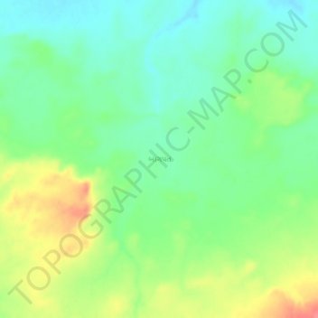
Name: Bagpat topographic map, elevation, terrain.
Location: Bagpat, Nakhatrana Taluka, Kachchh, Gujarat, 370040, India (23.41053 69.19249 23.45053 69.23249)
Average elevation: 292 ft
Minimum elevation: 207 ft
Maximum elevation: 430 ft
Other topographic maps
Click on a map to view its topography, its elevation and its terrain.
Nakhatrana
India > Gujarat > Nakhatrana Taluka
Nakhatrana, Nakhatrana Taluka, Kachchh, Gujarat, 370615, India
Average elevation: 453 ft
Vithon
India > Gujarat > Nakhatrana Taluka
Vithon, Nakhatrana Taluka, Kachchh, Gujarat, 370675, India
Average elevation: 423 ft