
Carlyle topographic map
Click on the map to display elevation.
About this map
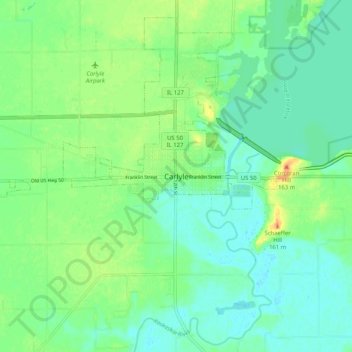
Name: Carlyle topographic map, elevation, terrain.
Location: Carlyle, Clinton County, Illinois, 62231, United States (38.57033 -89.41258 38.65033 -89.33258)
Average elevation: 453 ft
Minimum elevation: 410 ft
Maximum elevation: 535 ft
Clinton County trails, hiking, mountain biking, running and outdoor activities