Geolocate

Fugging topographic map

Click on the map to display elevation.

About this map

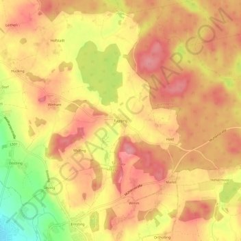
Name: Fugging topographic map, elevation, terrain.

Location: Fugging, Tarsdorf, Bezirk Braunau, 5121, Austria (48.04741 12.84234 48.08741 12.88234)

Average elevation: 1,542 ft

Minimum elevation: 1,319 ft

Maximum elevation: 1,654 ft

Gear up for your next adventure:

🔦Powerful Headlamps - Ultra-bright hands-free lighting for night navigation
🦶Carbon Trekking Poles - Reduce knee impact on steep descents with ultra-light poles
🔥Fast-Boil Camping Stoves - Efficient cooking systems for quick trail meals
📻Weather Alert Radios - Stay informed of storm risks while off-the-grid
🧢Outdoor Hiking Hat - Sun protection hat for outdoor explorers

As an Amazon Associate, this site earns from qualifying purchases at no extra cost to you.