Geolocate

Chikhli topographic map

Click on the map to display elevation.

About this map

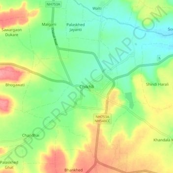
Name: Chikhli topographic map, elevation, terrain.

Location: Chikhli, Buldhana, Maharashtra, 443200, India (20.30911 76.21250 20.38911 76.29250)

Average elevation: 2,008 ft

Minimum elevation: 1,893 ft

Maximum elevation: 2,178 ft

Other topographic maps

Click on a map to view its topography, its elevation and its terrain.

Harni

India > Maharashtra > Chikhli > Harni

Average elevation: 1,713 ft

Gear up for your next adventure:

🏕️Family Camping Gear - Essentials for group camping trips
🥩Freeze-Dried Meals - Nutritious and lightweight food for remote expeditions
🪵Folding Camp Saw - Compact saw for wood and campsite work
🔭Compact Binoculars - HD vision for scouting terrain and identifying distant landmarks
🧭Compass with Lanyard - Easy‑carry compass for navigation

As an Amazon Associate, this site earns from qualifying purchases at no extra cost to you.