
Thank you for supporting this site ❤️
Make a donation
Make a donation
Gear up for your next adventure:
As an Amazon Associate, this site earns from qualifying purchases at no extra cost to you.
Rainelle topographic map
Click on the map to display elevation.
Thank you for supporting this site ❤️
Make a donation
Make a donation
Gear up for your next adventure:
As an Amazon Associate, this site earns from qualifying purchases at no extra cost to you.
About this map
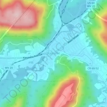
Name: Rainelle topographic map, elevation, terrain.
Location: Rainelle, Greenbrier County, West Virginia, United States (37.96170 -80.78740 37.97574 -80.75441)
Average elevation: 2,595 ft
Minimum elevation: 2,369 ft
Maximum elevation: 3,179 ft
Greenbrier County trails, hiking, mountain biking, running and outdoor activities
Thank you for supporting this site ❤️
Make a donation
Make a donation
Gear up for your next adventure:
As an Amazon Associate, this site earns from qualifying purchases at no extra cost to you.