
Thank you for supporting this site ❤️
Make a donation
Make a donation
Gear up for your next adventure:
As an Amazon Associate, this site earns from qualifying purchases at no extra cost to you.
Kedungkandang topographic map
Click on the map to display elevation.
Thank you for supporting this site ❤️
Make a donation
Make a donation
Gear up for your next adventure:
As an Amazon Associate, this site earns from qualifying purchases at no extra cost to you.
About this map
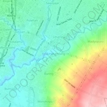
Name: Kedungkandang topographic map, elevation, terrain.
Location: Kedungkandang, Kota Malang, East Java, 65121, Indonesia (-8.01242 112.63295 -7.97242 112.67295)
Average elevation: 1,522 ft
Minimum elevation: 1,325 ft
Maximum elevation: 1,962 ft
Thank you for supporting this site ❤️
Make a donation
Make a donation
Gear up for your next adventure:
As an Amazon Associate, this site earns from qualifying purchases at no extra cost to you.