Geolocate

chatra topographic map

Click on the map to display elevation.

About this map

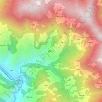
Name: chatra topographic map, elevation, terrain.

Location: chatra, Bhaderwah, Doda District, Jammu and Kashmir, India (33.03923 75.64912 33.07923 75.68912)

Average elevation: 6,027 ft

Minimum elevation: 4,193 ft

Maximum elevation: 7,654 ft

Gear up for your next adventure:

🔥Plasma Lighters - Windproof lighters that work in any weather condition
🪵Folding Camp Saw - Compact saw for wood and campsite work
🥾Hiking Shoes - Durable and comfortable shoes for trail hiking
🪶Survival Guide Book - Expert advice for emergency preparedness
🪶Wildlife Field Guides - Learn animal tracking and species ID

As an Amazon Associate, this site earns from qualifying purchases at no extra cost to you.