
Baker topographic map
Click on the map to display elevation.
About this map
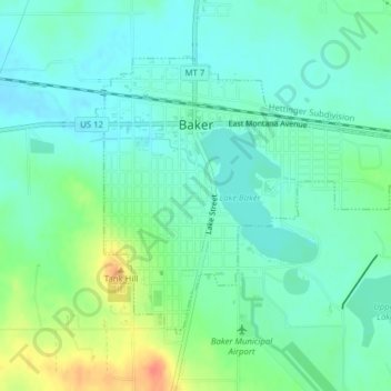
Name: Baker topographic map, elevation, terrain.
Location: Baker, Fallon County, Montana, 59313, United States (46.35336 -104.28528 46.37240 -104.25323)
Average elevation: 2,956 ft
Minimum elevation: 2,910 ft
Maximum elevation: 3,071 ft
Other topographic maps
Click on a map to view its topography, its elevation and its terrain.