Geolocate

Karla topographic map

Click on the map to display elevation.

About this map

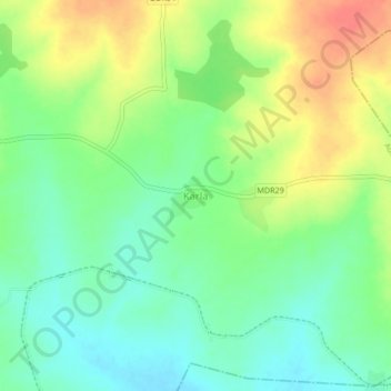
Name: Karla topographic map, elevation, terrain.

Location: Karla, Ausa, Latur, Maharashtra, 413516, India (18.06361 76.60899 18.10361 76.64899)

Average elevation: 1,978 ft

Minimum elevation: 1,906 ft

Maximum elevation: 2,080 ft

Gear up for your next adventure:

📻Weather Alert Radios - Stay informed of storm risks while off-the-grid
🛶Inflatable Kayak - Portable kayak for rivers, lakes, and expeditions
🌄Hiking Binoculars - Compact binoculars for scenic views and trail spotting
🛰️Handheld GPS Units - Professional satellite navigators for precise backcountry mapping
🦺Reflective Outdoor Gear - Safety gear for low‑light conditions

As an Amazon Associate, this site earns from qualifying purchases at no extra cost to you.