
Alden topographic map
Click on the map to display elevation.
About this map
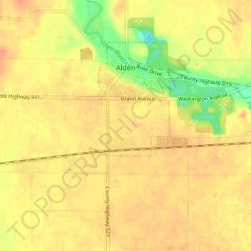
Name: Alden topographic map, elevation, terrain.
Location: Alden, Alden Township, Hardin County, Iowa, United States (42.49280 -93.43032 42.52506 -93.36470)
Average elevation: 1,161 ft
Minimum elevation: 1,076 ft
Maximum elevation: 1,194 ft
Hardin County trails, hiking, mountain biking, running and outdoor activities
Other topographic maps
Click on a map to view its topography, its elevation and its terrain.