
Darreh-ye Galleh Cheshmeh;Darrah-i-Gala Casma;Darah-ye Galah Chashmah topographic map
Interactive map
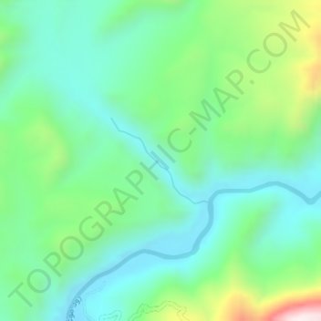
Click on the map to display elevation.
About this map
Name: Darreh-ye Galleh Cheshmeh;Darrah-i-Gala Casma;Darah-ye Galah Chashmah topographic map, elevation, terrain.
Average elevation: 2,677 ft
Minimum elevation: 2,100 ft
Maximum elevation: 4,229 ft
Other topographic maps
Click on a map to view its topography, its elevation and its terrain.