
Victor topographic map
Click on the map to display elevation.
About this map
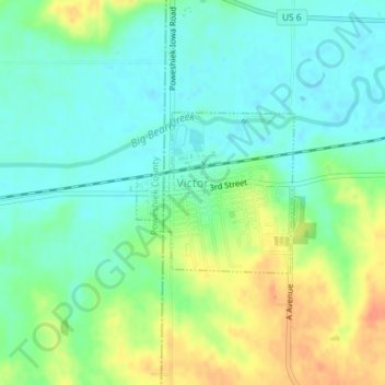
Name: Victor topographic map, elevation, terrain.
Location: Victor, Iowa County, Iowa, United States (41.72502 -92.30324 41.73634 -92.28837)
Average elevation: 833 ft
Minimum elevation: 781 ft
Maximum elevation: 928 ft
Iowa County trails, hiking, mountain biking, running and outdoor activities