Geolocate

Bhidi topographic map

Click on the map to display elevation.

About this map
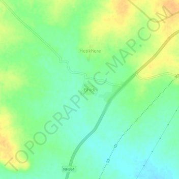
Name: Bhidi topographic map, elevation, terrain.

Location: Bhidi, Deoli, Wardha, Maharashtra, India (20.55514 78.37862 20.59514 78.41862)

Average elevation: 833 ft

Minimum elevation: 787 ft

Maximum elevation: 886 ft

Gear up for your next adventure:

🪓Survival Multi‑Tool - Versatile tool for camp and trail tasks
⌚GPS Sports Watch - GPS watch for running, hiking and training
📦Gear Storage Bags - Organize and protect outdoor equipment
🗺️Topographic Maps - Detailed topo maps for hiking, exploring and outdoor navigation
📚Navigation Handbooks - Master the art of reading topographic maps and using a compass

As an Amazon Associate, this site earns from qualifying purchases at no extra cost to you.