
Daïra Bab El Oued topographic map
Interactive map
Click on the map to display elevation.
About this map
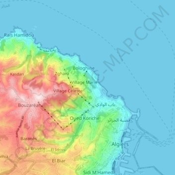
Name: Daïra Bab El Oued topographic map, elevation, terrain.
Location: Daïra Bab El Oued, Alger, RADP (36.77330 2.99431 36.82086 3.07857)
Average elevation: 305 ft
Minimum elevation: -10 ft
Maximum elevation: 1,309 ft
Other topographic maps
Click on a map to view its topography, its elevation and its terrain.