Geolocate

Rugby topographic map

Click on the map to display elevation.

About this map

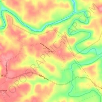
Name: Rugby topographic map, elevation, terrain.

Location: Rugby, Morgan County, Tennessee, 37733, United States (36.34035 -84.72078 36.38035 -84.68078)

Average elevation: 1,355 ft

Minimum elevation: 1,155 ft

Maximum elevation: 1,476 ft

Morgan County trails, hiking, mountain biking, running and outdoor activities

Other topographic maps

Click on a map to view its topography, its elevation and its terrain.

White Creek

United States > Tennessee > Morgan County

Average elevation: 1,467 ft

Gear up for your next adventure:

🪓Survival Multi‑Tool - Versatile tool for camp and trail tasks
🪶Thermal Camp Blanket - Extra warmth for cold nights
🧣Hiking Neck Gaiter - Multi‑use neck protection for outdoor weather
🎒Waterproof Dry Bags - Keep your electronics and maps dry inside your pack
🥩Freeze-Dried Meals - Nutritious and lightweight food for remote expeditions

As an Amazon Associate, this site earns from qualifying purchases at no extra cost to you.