Geolocate

Vithon topographic map

Click on the map to display elevation.

About this map

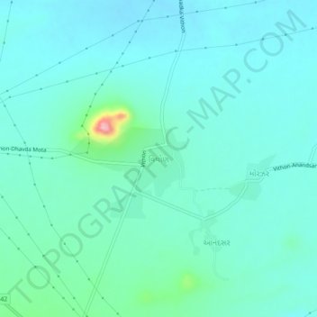
Name: Vithon topographic map, elevation, terrain.

Location: Vithon, Nakhatrana Taluka, Kachchh, Gujarat, 370675, India (23.30129 69.33025 23.34129 69.37025)

Average elevation: 423 ft

Minimum elevation: 338 ft

Maximum elevation: 863 ft

Gear up for your next adventure:

🗻Climbing Gear Basics - Essential gear for beginner climbers
🪶Thermal Camp Blanket - Extra warmth for cold nights
🪶Compact Camp Shovel - Folding shovel for campsite tasks
🍳Camping Cook Set - Complete cookware for outdoor meals
🥾Women's Hiking Boots - Top-rated trail boots with ankle support and superior grip

As an Amazon Associate, this site earns from qualifying purchases at no extra cost to you.