Geolocate

Bray topographic map

Click on the map to display elevation.

About this map
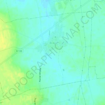
Name: Bray topographic map, elevation, terrain.

Location: Bray, Bernay, Eure, Normandy, Metropolitan France, 27170, France (49.09207 0.81552 49.11609 0.85703)

Average elevation: 492 ft

Minimum elevation: 469 ft

Maximum elevation: 535 ft

Gear up for your next adventure:

🛏️Cold Weather Sleeping Bag - Warm sleeping bag for cold conditions
👟Trail Running Shoes - Lightweight shoes for trail runners
🛠️Backpacking Tool Kit - Essential toolkit for outdoor repairs
🎒Outdoor Daypacks - Lightweight backpacks designed for carrying maps and essential gear
🛡️Insect Repellent - Protection against bugs during outdoor activities

As an Amazon Associate, this site earns from qualifying purchases at no extra cost to you.