
Thank you for supporting this site ❤️
Make a donation
Make a donation
Gear up for your next adventure:
As an Amazon Associate, this site earns from qualifying purchases at no extra cost to you.
Oberau topographic map
Click on the map to display elevation.
Thank you for supporting this site ❤️
Make a donation
Make a donation
Gear up for your next adventure:
As an Amazon Associate, this site earns from qualifying purchases at no extra cost to you.
About this map
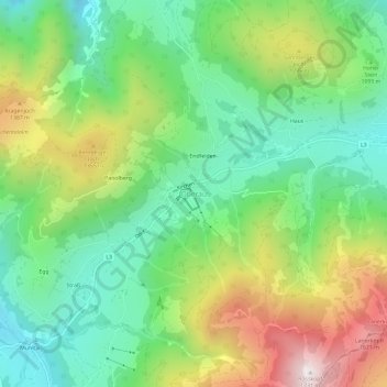
Name: Oberau topographic map, elevation, terrain.
Location: Oberau, Wildschönau, Bezirk Kufstein, Tyrol, 6311, Austria (47.42416 12.03263 47.46416 12.07263)
Average elevation: 3,615 ft
Minimum elevation: 2,451 ft
Maximum elevation: 5,659 ft
Thank you for supporting this site ❤️
Make a donation
Make a donation
Gear up for your next adventure:
As an Amazon Associate, this site earns from qualifying purchases at no extra cost to you.