Geolocate

Pakpahan topographic map

Click on the map to display elevation.

About this map

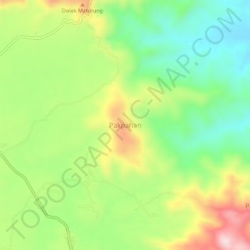
Name: Pakpahan topographic map, elevation, terrain.

Location: Pakpahan, North Tapanuli, North Sumatra, Sumatra, Indonesia (1.98601 99.16936 2.02601 99.20936)

Average elevation: 3,898 ft

Minimum elevation: 3,412 ft

Maximum elevation: 4,610 ft

Other topographic maps

Click on a map to view its topography, its elevation and its terrain.

Tarutung

Indonesia > North Sumatra > North Tapanuli

Average elevation: 3,737 ft

Tarutung

Indonesia > North Sumatra > North Tapanuli

Average elevation: 3,737 ft

Tarutung

Indonesia > North Sumatra > North Tapanuli

Average elevation: 3,215 ft

Gear up for your next adventure:

📡Handheld GPS Device - Reliable handheld GPS for outdoor navigation
🪶LED Camping Lantern - Bright lantern for camp lighting
🪶Trail Camera - Capture wildlife on your hikes
🚁Photography Drones - Capture stunning aerial views of landforms and topography
🧭Pro Hiking Compasses - High-accuracy liquid-filled compasses for topographic orientation

As an Amazon Associate, this site earns from qualifying purchases at no extra cost to you.