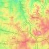
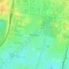
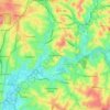
HMAS Cerberus topographic map
Click on the map to display elevation.
About this map

Name: HMAS Cerberus topographic map, elevation, terrain.
Location: HMAS Cerberus, Melbourne, Victoria, 3920, Australia (-38.40953 145.16580 -38.35349 145.23517)
Average elevation: 33 ft
Minimum elevation: -7 ft
Maximum elevation: 184 ft
Other topographic maps
Click on a map to view its topography, its elevation and its terrain.


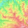
Gilbertsons Grassland Nature Conservation Reserve
Australia > Victoria > Melbourne
Average elevation: 118 ft
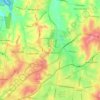
Mount Dandenong
Australia > Victoria > Melbourne
Mount Dandenong has a cool oceanic climate (Cfb), with cool to mild summers and cold, damp winters. Daytime temperatures are usually 4−6 °C cooler than downtown Melbourne due to its elevation and distance from the urban heat island effect of Melbourne. It is significantly cloudier than Melbourne,…
Average elevation: 1,296 ft














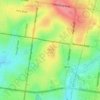

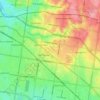


Langwarrin Flora and Fauna Reserve
Australia > Victoria > Melbourne > Langwarrin
Average elevation: 295 ft



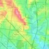
Narre Warren North Retarding Basin (Melbourne Water)
Australia > Victoria > Melbourne
Average elevation: 249 ft