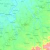
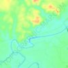
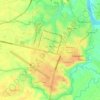
San Manuel topographic map
Click on the map to display elevation.
About this map

Name: San Manuel topographic map, elevation, terrain.
Location: San Manuel, Isabela, Cagayan Valley, 3317, Philippines (16.98691 121.59081 17.06691 121.67081)
Average elevation: 213 ft
Minimum elevation: 161 ft
Maximum elevation: 295 ft
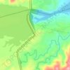
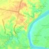
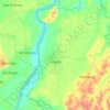
Other topographic maps
Click on a map to view its topography, its elevation and its terrain.