Geolocate

Bobon topographic map

Click on the map to display elevation.

About this map
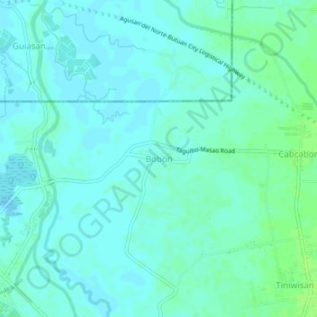
Name: Bobon topographic map, elevation, terrain.

Location: Bobon, Butuan, Caraga, 8600, Philippines (8.96918 125.54178 9.00918 125.58178)

Average elevation: 16 ft

Minimum elevation: 3 ft

Maximum elevation: 39 ft

Other topographic maps

Click on a map to view its topography, its elevation and its terrain.

Taguibo Dam

Philippines > Butuan

Average elevation: 823 ft

Taguibo Dam

Philippines > Butuan

Average elevation: 823 ft

Taguibo Dam

Philippines > Butuan

Average elevation: 823 ft

Gear up for your next adventure:

🔌USB Car Charger - Car charger for on‑the‑go power needs
📶Satellite Messenger - Communication device off‑grid
🥤Water Filter Bottle - All‑in‑one filter bottle for safe hydration
⛑️Personal Locator Beacon - Safety beacon for emergencies
🧭GPS Watch Accessories - Bands and chargers for GPS watches

As an Amazon Associate, this site earns from qualifying purchases at no extra cost to you.