
Thank you for supporting this site ❤️
Make a donation
Make a donation
Gear up for your next adventure:
As an Amazon Associate, this site earns from qualifying purchases at no extra cost to you.
Comunidad Inti Wañuy topographic map
Click on the map to display elevation.
Thank you for supporting this site ❤️
Make a donation
Make a donation
Gear up for your next adventure:
As an Amazon Associate, this site earns from qualifying purchases at no extra cost to you.
About this map
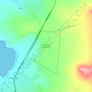
Name: Comunidad Inti Wañuy topographic map, elevation, terrain.
Average elevation: 187 ft
Minimum elevation: 0 ft
Maximum elevation: 541 ft
Thank you for supporting this site ❤️
Make a donation
Make a donation
Gear up for your next adventure:
As an Amazon Associate, this site earns from qualifying purchases at no extra cost to you.
Other topographic maps
Click on a map to view its topography, its elevation and its terrain.
Humedal Desembocadura del Río Copiapó
Chile > Atacama Region > Provincia de Copiapó > Caldera
Average elevation: 102 ft
Bien Nacional Protegido Yacimiento Paleontológico Cerro Ballena
Chile > Atacama Region > Provincia de Copiapó > Caldera
Average elevation: 174 ft