Geolocate

Paukhal topographic map

Click on the map to display elevation.

About this map

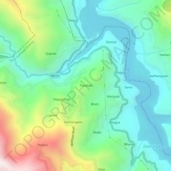
Name: Paukhal topographic map, elevation, terrain.

Location: Paukhal, Dhanaulti, Tehri Garhwal, Uttarakhand, 249196, India (30.52934 78.30758 30.56934 78.34758)

Average elevation: 3,593 ft

Minimum elevation: 2,507 ft

Maximum elevation: 6,358 ft

Gear up for your next adventure:

👟Trail Running Shoes - Lightweight shoes for trail runners
🪑Ultralight Camp Chairs - Portable seating for resting after a long day of mapping
📖Nature Tracking Books - Learn to track wildlife and terrain
👖Convertible Hiking Pants - Versatile zip-off pants for changing altitudes and temperatures
🍳Camping Cook Set - Complete cookware for outdoor meals

As an Amazon Associate, this site earns from qualifying purchases at no extra cost to you.