Geolocate

Hunyuan County topographic map

Click on the map to display elevation.

About this map

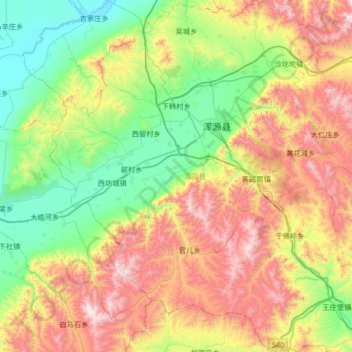
Name: Hunyuan County topographic map, elevation, terrain.

Location: Hunyuan County, Datong, Shanxi, China (39.36475 113.37194 39.87596 113.97386)

Average elevation: 4,774 ft

Minimum elevation: 3,156 ft

Maximum elevation: 7,644 ft

Other topographic maps

Click on a map to view its topography, its elevation and its terrain.

Wufacun

China > Shanxi > Datong

Average elevation: 3,491 ft

Aoshi

China > Shanxi > Datong

Average elevation: 3,196 ft

Gear up for your next adventure:

📦Dry Bags Set - Waterproof storage for electronics and clothes
🔥Camping Stove - Portable stove for camping and backcountry cooking
🪓Survival Multi‑Tool - Versatile tool for camp and trail tasks
🪵Folding Camp Saw - Compact saw for wood and campsite work
🧥Men's Rain Shells - Premium waterproof and breathable jackets for mountain weather

As an Amazon Associate, this site earns from qualifying purchases at no extra cost to you.