Geolocate

Gehaus topographic map

Click on the map to display elevation.

About this map

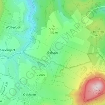
Name: Gehaus topographic map, elevation, terrain.

Location: Gehaus, Dermbach, Wartburgkreis, Thuringia, Germany (50.73955 10.05757 50.77955 10.09757)

Average elevation: 1,434 ft

Minimum elevation: 1,050 ft

Maximum elevation: 2,320 ft

Gear up for your next adventure:

📦Dry Bags Set - Waterproof storage for electronics and clothes
🧯Emergency Survival Kit - All‑in‑one survival essentials for the backcountry
🧦Merino Wool Socks - Moisture-wicking, blister-preventing socks for long treks
🚗GPS Dash Cams - Record your scenic drives through mountain passes and canyons
🖼️Topo Map Wall Art - Decorative topographic prints of famous peaks and regions

As an Amazon Associate, this site earns from qualifying purchases at no extra cost to you.