
Trent Lakes topographic map
Interactive map
Click on the map to display elevation.
About this map
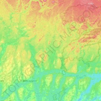
Name: Trent Lakes topographic map, elevation, terrain.
Location: Trent Lakes, Peterborough County, Ontario, Canada (44.45366 -78.65504 44.86978 -78.20709)
Average elevation: 961 ft
Minimum elevation: 755 ft
Maximum elevation: 1,417 ft