
Elba Township topographic map
Interactive map
Click on the map to display elevation.
About this map
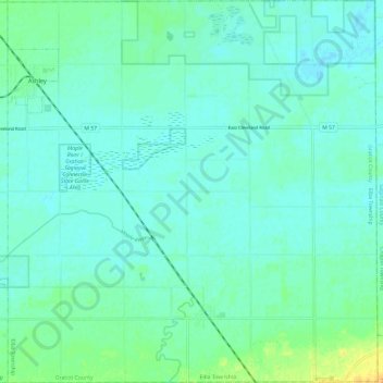
Name: Elba Township topographic map, elevation, terrain.
Average elevation: 666 ft
Minimum elevation: 646 ft
Maximum elevation: 725 ft
Other topographic maps
Click on a map to view its topography, its elevation and its terrain.
Emerson Township
United States > Michigan > Gratiot County
Emerson Township, Gratiot County, Michigan, United States
Average elevation: 741 ft
Elwell
United States > Michigan > Gratiot County > Elwell
Elwell, Seville Township, Gratiot County, Michigan, 48832, United States
Average elevation: 771 ft
Ashley
United States > Michigan > Gratiot County > Ashley
Ashley, Elba Township, Gratiot County, Michigan, United States
Average elevation: 666 ft