Marsa topographic map
Interactive map
Click on the map to display elevation.
About this map
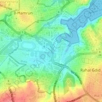
Name: Marsa topographic map, elevation, terrain.
Location: Marsa, South Eastern Region, Malta (35.86529 14.48061 35.88811 14.50567)
Average elevation: 92 ft
Minimum elevation: 0 ft
Maximum elevation: 240 ft
Other topographic maps
Click on a map to view its topography, its elevation and its terrain.
Marsascala
Malta > South Eastern Region > Marsascala
Marsascala, South Eastern Region, Malta
Average elevation: 72 ft
Senglea
Malta > South Eastern Region > Senglea
Senglea, South Eastern Region, ISL-1461, Malta
Average elevation: 75 ft