
Thank you for supporting this site ❤️
Make a donation
Make a donation
Gear up for your next adventure:
As an Amazon Associate, this site earns from qualifying purchases at no extra cost to you.
龙埂 topographic map
Click on the map to display elevation.
Thank you for supporting this site ❤️
Make a donation
Make a donation
Gear up for your next adventure:
As an Amazon Associate, this site earns from qualifying purchases at no extra cost to you.
About this map
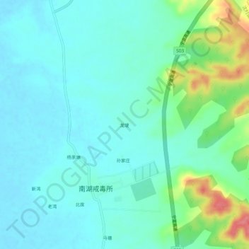
Name: 龙埂 topographic map, elevation, terrain.
Location: 龙埂, Shencun, Xuanzhou District, Xuancheng, Anhui, China (31.00407 118.84932 31.04407 118.88932)
Average elevation: 85 ft
Minimum elevation: 26 ft
Maximum elevation: 285 ft
Thank you for supporting this site ❤️
Make a donation
Make a donation
Gear up for your next adventure:
As an Amazon Associate, this site earns from qualifying purchases at no extra cost to you.