
红旗街道 topographic map
Interactive map
Click on the map to display elevation.
About this map
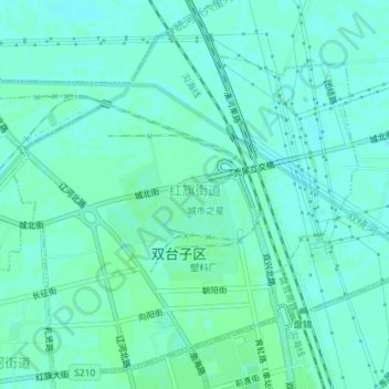
Name: 红旗街道 topographic map, elevation, terrain.
Location: 红旗街道, 盘锦市, 辽宁省, 中国 (41.19148 122.02755 41.21641 122.06284)
Average elevation: 20 ft
Minimum elevation: 10 ft
Maximum elevation: 26 ft
Other topographic maps
Click on a map to view its topography, its elevation and its terrain.