
Thank you for supporting this site ❤️
Make a donation
Make a donation
Gear up for your next adventure:
As an Amazon Associate, this site earns from qualifying purchases at no extra cost to you.
Shargaljuut topographic map
Click on the map to display elevation.
Thank you for supporting this site ❤️
Make a donation
Make a donation
Gear up for your next adventure:
As an Amazon Associate, this site earns from qualifying purchases at no extra cost to you.
About this map
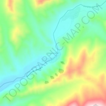
Name: Shargaljuut topographic map, elevation, terrain.
Location: Shargaljuut, Erdenetsogt, Bayankhongor, Mongolia (46.31220 101.20421 46.35220 101.24421)
Average elevation: 7,428 ft
Minimum elevation: 6,923 ft
Maximum elevation: 8,419 ft
Thank you for supporting this site ❤️
Make a donation
Make a donation
Gear up for your next adventure:
As an Amazon Associate, this site earns from qualifying purchases at no extra cost to you.