Geolocate

Mimbridge topographic map

Click on the map to display elevation.

About this map

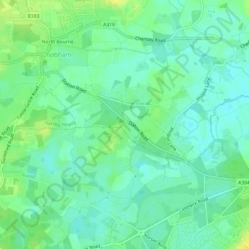
Name: Mimbridge topographic map, elevation, terrain.

Location: Mimbridge, Chobham, Surrey Heath, Surrey, England, GU24 8AY, United Kingdom (51.33013 -0.59919 51.35013 -0.57919)

Average elevation: 85 ft

Minimum elevation: 59 ft

Maximum elevation: 125 ft

Other topographic maps

Click on a map to view its topography, its elevation and its terrain.

Dunstall Green

United Kingdom > England > Surrey > Surrey Heath > Chobham

Average elevation: 108 ft

Gear up for your next adventure:

🧭Orienteering Set - Complete compass and map reading kit
🎒Waterproof Dry Bags - Keep your electronics and maps dry inside your pack
🪶Camp Gear Gift Set - Perfect gift bundle for outdoor fans
🧯Portable Fire Pit - Compact fire pit for camping spots
🛶Inflatable Kayak - Portable kayak for rivers, lakes, and expeditions

As an Amazon Associate, this site earns from qualifying purchases at no extra cost to you.