Geolocate

Troy topographic map

Click on the map to display elevation.

About this map

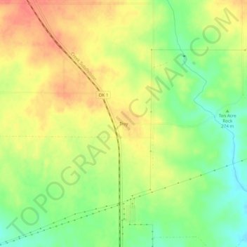
Name: Troy topographic map, elevation, terrain.

Location: Troy, Johnston County, Oklahoma, United States (34.30732 -96.80167 34.34732 -96.76167)

Average elevation: 915 ft

Minimum elevation: 823 ft

Maximum elevation: 988 ft

Johnston County trails, hiking, mountain biking, running and outdoor activities

Other topographic maps

Click on a map to view its topography, its elevation and its terrain.

Mill Creek

United States > Oklahoma > Johnston County

Average elevation: 1,030 ft

Tishomingo

United States > Oklahoma > Johnston County

Average elevation: 702 ft

Tishomingo

United States > Oklahoma > Johnston County

Average elevation: 702 ft

Gear up for your next adventure:

🪑Portable Camp Table - Compact table for campsite meals
🦶Hiking Gaiters - Keep debris and water out of your boots
🪶Wildlife Field Guides - Learn animal tracking and species ID
🩹Survival Bandages - High‑quality bandages for emergencies
🛠️Outdoor Gear Repair Kit - Essential tools to fix gear on the trail

As an Amazon Associate, this site earns from qualifying purchases at no extra cost to you.