Geolocate

Office Hall topographic map

Click on the map to display elevation.

About this map

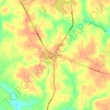
Name: Office Hall topographic map, elevation, terrain.

Location: Office Hall, King George County, Virginia, United States (38.21902 -77.17025 38.25902 -77.13025)

Average elevation: 154 ft

Minimum elevation: 49 ft

Maximum elevation: 210 ft

King George County trails, hiking, mountain biking, running and outdoor activities

Other topographic maps

Click on a map to view its topography, its elevation and its terrain.

King George

United States > Virginia > King George County

Average elevation: 148 ft

Gear up for your next adventure:

🌐World Map Poster - Decorative world maps with topographic info
🔌Solar Panel Charger - Charge gear sustainably outdoors
🔭Stargazing Telescopes - Perfect for camping in low-light pollution areas shown on maps
🔦LED Headlamp - Bright and durable LED headlamp for night navigation
🌡️Handheld Weather Meters - Measure wind, temp, and pressure for safe mountain travel

As an Amazon Associate, this site earns from qualifying purchases at no extra cost to you.