
Akron topographic map
Click on the map to display elevation.
About this map
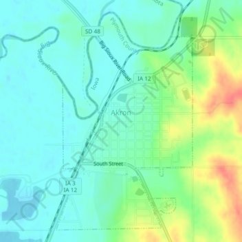
Name: Akron topographic map, elevation, terrain.
Location: Akron, Plymouth County, Iowa, United States (42.81570 -96.56782 42.83997 -96.54707)
Average elevation: 1,178 ft
Minimum elevation: 1,122 ft
Maximum elevation: 1,306 ft
Plymouth County trails, hiking, mountain biking, running and outdoor activities
Other topographic maps
Click on a map to view its topography, its elevation and its terrain.