Geolocate

Dryfork topographic map

Click on the map to display elevation.

About this map

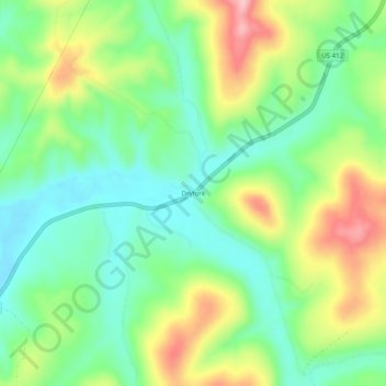
Name: Dryfork topographic map, elevation, terrain.

Location: Dryfork, Carroll County, Arkansas, United States (36.13341 -93.50908 36.17341 -93.46908)

Average elevation: 1,568 ft

Minimum elevation: 1,358 ft

Maximum elevation: 1,923 ft

Carroll County trails, hiking, mountain biking, running and outdoor activities

Other topographic maps

Click on a map to view its topography, its elevation and its terrain.

Blue Eye, AR

United States > Arkansas > Carroll County

Average elevation: 1,250 ft

Gear up for your next adventure:

👟Men's Trail Runners - Lightweight footwear for fast-paced exploration and light hiking
🪶Compact Camp Shovel - Folding shovel for campsite tasks
🖼️Topo Map Wall Art - Decorative topographic prints of famous peaks and regions
📦Dry Bags Set - Waterproof storage for electronics and clothes
🩹Survival Bandages - High‑quality bandages for emergencies

As an Amazon Associate, this site earns from qualifying purchases at no extra cost to you.