
Thank you for supporting this site ❤️
Make a donation
Make a donation
Gear up for your next adventure:
As an Amazon Associate, this site earns from qualifying purchases at no extra cost to you.
Fontibón topographic map
Click on the map to display elevation.
Thank you for supporting this site ❤️
Make a donation
Make a donation
Gear up for your next adventure:
As an Amazon Associate, this site earns from qualifying purchases at no extra cost to you.
About this map
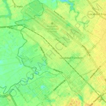
Name: Fontibón topographic map, elevation, terrain.
Location: Fontibón, Bogota, Bogota Capital District, Colombia (4.63737 -74.17696 4.72011 -74.10342)
Average elevation: 8,350 ft
Minimum elevation: 8,304 ft
Maximum elevation: 8,389 ft
Thank you for supporting this site ❤️
Make a donation
Make a donation
Gear up for your next adventure:
As an Amazon Associate, this site earns from qualifying purchases at no extra cost to you.