
Red Point topographic map
Interactive map
Click on the map to display elevation.
About this map
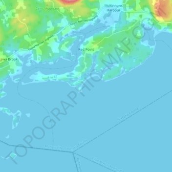
Name: Red Point topographic map, elevation, terrain.
Location: Red Point, Victoria, Nova Scotia, Canada (45.89677 -60.94424 45.94665 -60.85099)
Average elevation: 26 ft
Minimum elevation: -10 ft
Maximum elevation: 325 ft