Geolocate

Lovett topographic map

Click on the map to display elevation.

About this map

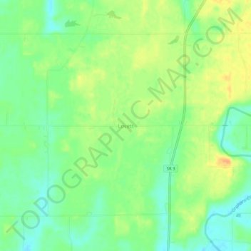
Name: Lovett topographic map, elevation, terrain.

Location: Lovett, Jennings County, Indiana, 47227, United States (38.89144 -85.65302 38.93144 -85.61302)

Average elevation: 699 ft

Minimum elevation: 643 ft

Maximum elevation: 758 ft

Jennings County trails, hiking, mountain biking, running and outdoor activities

Gear up for your next adventure:

🌐World Map Poster - Decorative world maps with topographic info
🎒Hydration Pack - Hands‑free water reservoir for long hikes
🦟Ultrasonic Repellers - Create a bug-free zone at your camp or rest stop
🔪Outdoor Multitools - Essential survival tools for gear repair and field use
🧭GPS Watch Accessories - Bands and chargers for GPS watches

As an Amazon Associate, this site earns from qualifying purchases at no extra cost to you.