Geolocate

Bogue Chitto topographic map

Click on the map to display elevation.

About this map

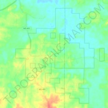
Name: Bogue Chitto topographic map, elevation, terrain.

Location: Bogue Chitto, Neshoba County, Mississippi, United States (32.80894 -88.95746 32.86033 -88.86385)

Average elevation: 453 ft

Minimum elevation: 387 ft

Maximum elevation: 587 ft

Neshoba County trails, hiking, mountain biking, running and outdoor activities

Other topographic maps

Click on a map to view its topography, its elevation and its terrain.

Bethsaida

United States > Mississippi > Neshoba County

Average elevation: 495 ft

Philadelphia

United States > Mississippi > Neshoba County

Average elevation: 440 ft

Gear up for your next adventure:

🧣Hiking Neck Gaiter - Multi‑use neck protection for outdoor weather
🧯Emergency Survival Kit - All‑in‑one survival essentials for the backcountry
🌡️Handheld Weather Meters - Measure wind, temp, and pressure for safe mountain travel
🛡️Bear Spray Outdoor - Protection in bear country hikes
🧭Map Reading Tools - Tools and kits for map navigation

As an Amazon Associate, this site earns from qualifying purchases at no extra cost to you.