Geolocate

Bessemer topographic map

Click on the map to display elevation.

About this map

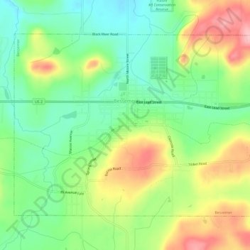
Name: Bessemer topographic map, elevation, terrain.

Location: Bessemer, Gogebic County, Michigan, 49911, United States (46.46298 -90.07857 46.49202 -90.02088)

Average elevation: 1,503 ft

Minimum elevation: 1,309 ft

Maximum elevation: 1,785 ft

Gogebic County trails, hiking, mountain biking, running and outdoor activities

Other topographic maps

Click on a map to view its topography, its elevation and its terrain.

Watersmeet

United States > Michigan > Gogebic County

Average elevation: 1,637 ft

Gear up for your next adventure:

🪶Camping Sleeping Pad - Comfortable sleeping pad for backpacking
🧴Hand Sanitizer - Keep hands clean while hiking
🔭Telescopic Hiking Pole - Adjustable pole for hiking stability
🦶Hiking Gaiters - Keep debris and water out of your boots
💧Water Purification System - Clean water on the trail with reliable purifiers

As an Amazon Associate, this site earns from qualifying purchases at no extra cost to you.