
Thank you for supporting this site ❤️
Make a donation
Make a donation
Gear up for your next adventure:
As an Amazon Associate, this site earns from qualifying purchases at no extra cost to you.
Alchi topographic map
Click on the map to display elevation.
Thank you for supporting this site ❤️
Make a donation
Make a donation
Gear up for your next adventure:
As an Amazon Associate, this site earns from qualifying purchases at no extra cost to you.
About this map
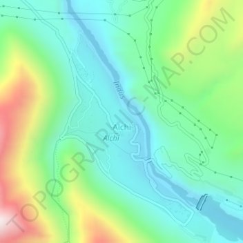
Name: Alchi topographic map, elevation, terrain.
Location: Alchi, Khaltsi, Leh District, Ladakh, India (34.21197 77.16601 34.23659 77.18505)
Average elevation: 10,699 ft
Minimum elevation: 10,016 ft
Maximum elevation: 12,372 ft
Thank you for supporting this site ❤️
Make a donation
Make a donation
Gear up for your next adventure:
As an Amazon Associate, this site earns from qualifying purchases at no extra cost to you.