
Weißbach an der Alpenstraße topographic map
Interactive map
Click on the map to display elevation.
About this map
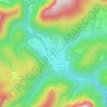
Name: Weißbach an der Alpenstraße topographic map, elevation, terrain.
Average elevation: 2,753 ft
Minimum elevation: 1,821 ft
Maximum elevation: 4,344 ft